
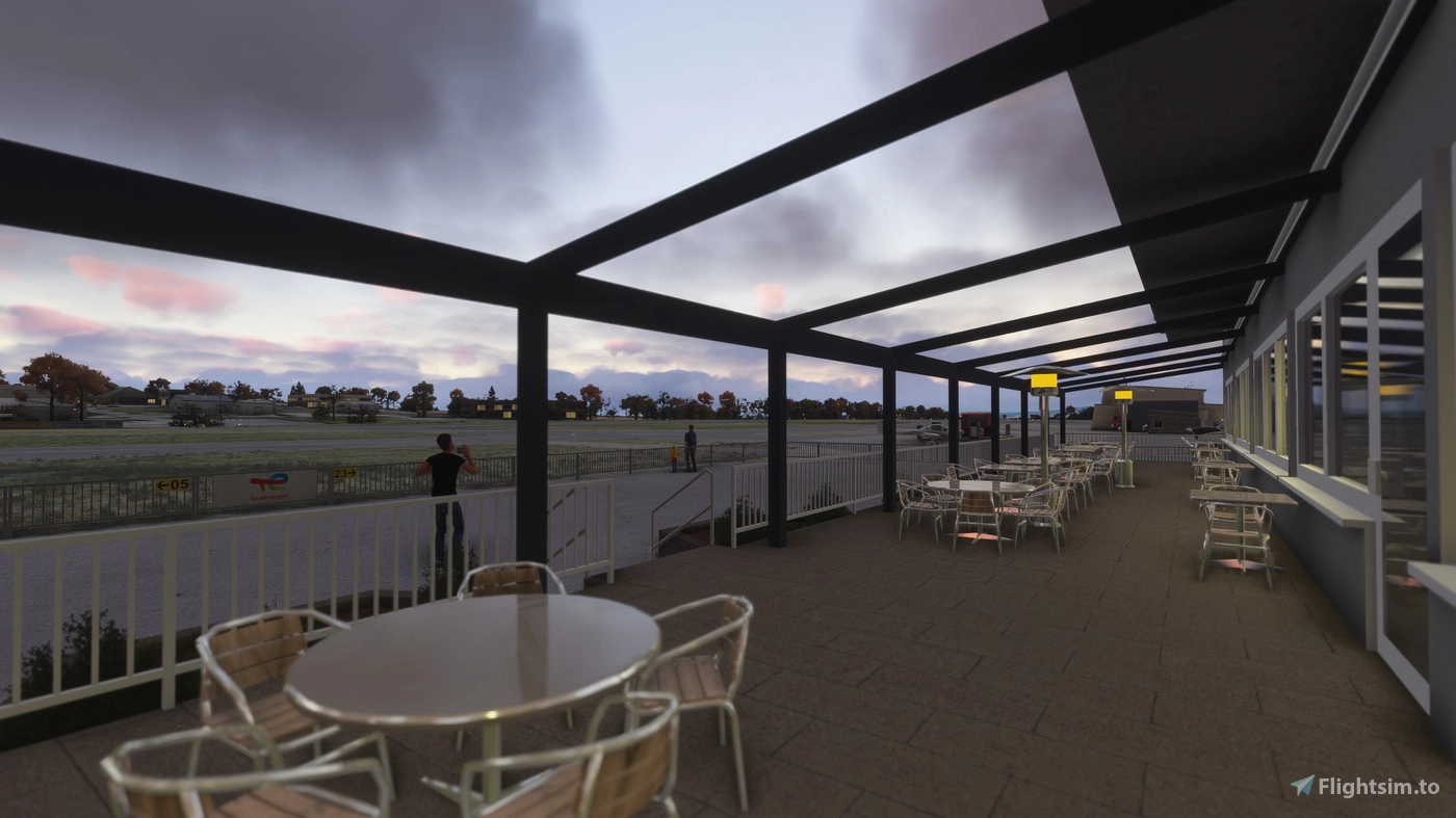
Located on a plateau overlooking the Moselle Valley, Koblenz-Winningen serves as one of Rhineland-Palatinate’s most distinctive general aviation airports. Situated between the cities of Koblenz and Winningen, the airfield accommodates airplanes and helicopters up to 5.7 tons, as well as three-axis controlled ultralights. Its scenic location above the river and proximity to the famous Moseltalbrücke make it a notable point of interest for both real-world pilots and simmers exploring western Germany.
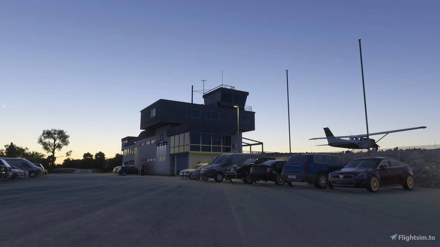
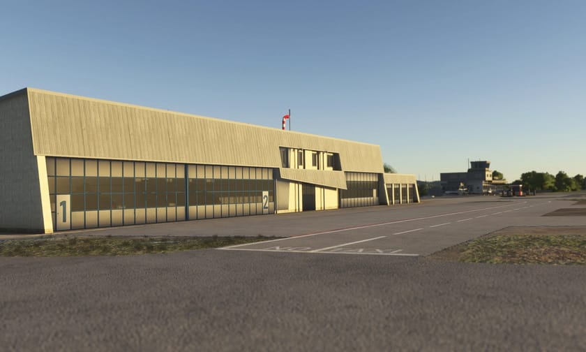
The newly released freeware scenery delivers a complete, handcrafted rendition of the airfield and its surroundings. Version 1.0 introduces fully modeled airport buildings, hangars, signs, and local structures based on current reference photos. The developer has implemented a corrected runway layout — now 05/23, updated from the former 06/24 — along with new ground textures, accurate windsocks, and custom ground markings. The package also includes detailed terraforming to fix the well-known terrain issues along the Moselle valley, eliminating the need for any additional mesh patches.
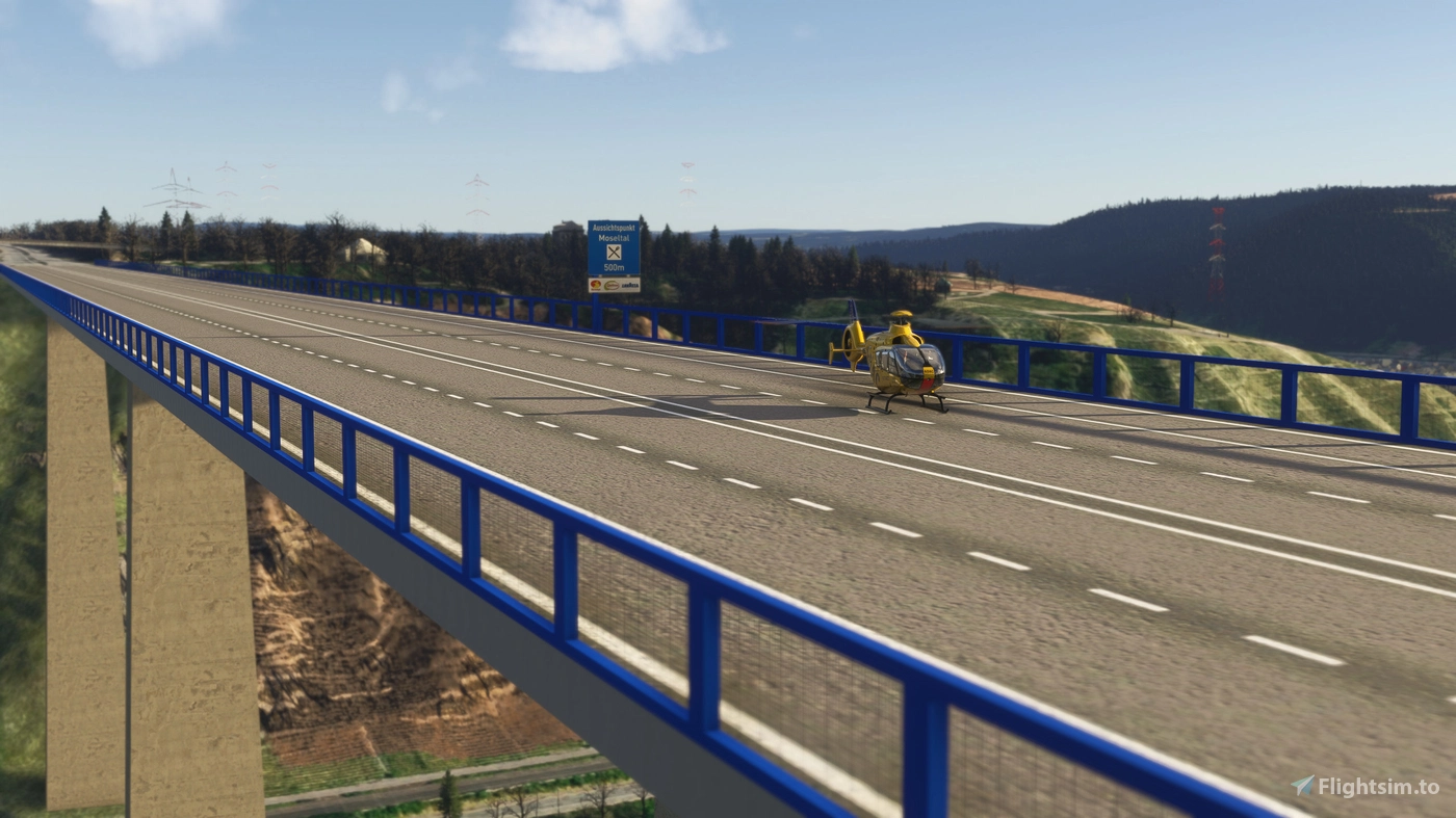
Beyond the airport itself, the scenery extends to include two prominent landmarks: the Moseltalbrücke, the striking bridge that spans the river valley near the field, and the Kühkopf Fernmeldeturm (telecommunications tower), both rendered as handcrafted 3D models. These additions give VFR pilots recognizable reference points that improve situational awareness when navigating the region.
While minor issues remain — such as snow and rain appearing inside buildings — the overall representation offers a significant upgrade over the default scenery and provides a rich visual experience for low-and-slow flying along the Moselle valley. You can download EDRK Koblenz-Winningen + Moseltalbrücke & Kühkopf Fernmeldeturm ➡️ for free on Flightsim.to. If you enjoy the scenery, consider supporting the creator with a small donation to encourage continued development of detailed regional airfields like this one.